
Haut Plateau topographic map
Interactive map
Click on the map to display elevation.
About this map
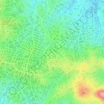
Name: Haut Plateau topographic map, elevation, terrain.
Location: Haut Plateau, Ngaoundéré I, CUN, Vina, Adamawa, Cameroon (7.29064 13.57826 7.30741 13.59018)
Average elevation: 1,157 m
Minimum elevation: 1,105 m
Maximum elevation: 1,251 m