
Sumapang Matanda topographic map
Interactive map
Click on the map to display elevation.
About this map
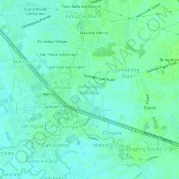
Name: Sumapang Matanda topographic map, elevation, terrain.
Location: Sumapang Matanda, Bulacan, Central Luzon, 3000, Philippines (14.83518 120.80253 14.87518 120.84253)
Average elevation: 5 m
Minimum elevation: 1 m
Maximum elevation: 9 m