
Peseux topographic map
Interactive map
Click on the map to display elevation.
About this map
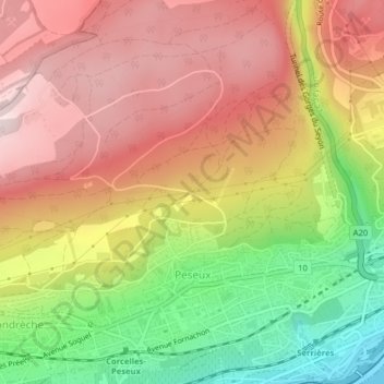
Name: Peseux topographic map, elevation, terrain.
Location: Peseux, District de Boudry, Neuchâtel, Suisse (46.98198 6.87426 47.00694 6.89963)
Average elevation: 655 m
Minimum elevation: 424 m
Maximum elevation: 832 m