
Sakaraha topographic map
Interactive map
Click on the map to display elevation.
About this map
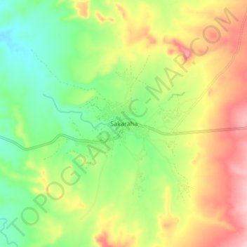
Name: Sakaraha topographic map, elevation, terrain.
Location: Sakaraha, Atsimo-Andrefana, Province de Toliara, Madagaskar (-22.95192 44.49237 -22.87192 44.57237)
Average elevation: 496 m
Minimum elevation: 415 m
Maximum elevation: 599 m