
Maligue topographic map
Interactive map
Click on the map to display elevation.
About this map
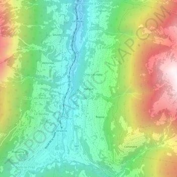
Name: Maligue topographic map, elevation, terrain.
Location: Maligue, La Rosière, Orsières, Entremont, Valais, 2303, Suisse (46.01680 7.13245 46.05680 7.17245)
Average elevation: 1,335 m
Minimum elevation: 791 m
Maximum elevation: 2,290 m