
Gurgl topographic map
Interactive map
Click on the map to display elevation.
About this map
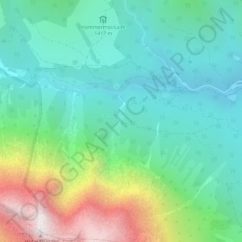
Name: Gurgl topographic map, elevation, terrain.
Location: Gurgl, Leutasch, Bezirk Innsbruck-Land, 6105, Österreich (47.34986 11.07497 47.36986 11.09497)
Average elevation: 1,604 m
Minimum elevation: 1,203 m
Maximum elevation: 2,648 m
Other topographic maps
Click on a map to view its topography, its elevation and its terrain.
Gaistal
Österreich > Bezirk Innsbruck-Land > Leutasch
Gaistal, Leutasch, Bezirk Innsbruck-Land, Österreich
Average elevation: 1,727 m