
Thank you for supporting this site ❤️
Make a donation
Make a donation
Cedarburg topographic map
Click on the map to display elevation.
Thank you for supporting this site ❤️
Make a donation
Make a donation
About this map
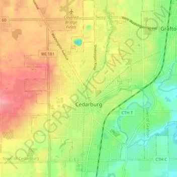
Name: Cedarburg topographic map, elevation, terrain.
Location: Cedarburg, Ozaukee County, Wisconsin, 53012, United States (43.27441 -88.01448 43.32830 -87.95044)
Average elevation: 247 m
Minimum elevation: 201 m
Maximum elevation: 293 m
Thank you for supporting this site ❤️
Make a donation
Make a donation