
Thank you for supporting this site ❤️
Make a donation
Make a donation
Red Mountain topographic map
Click on the map to display elevation.
Thank you for supporting this site ❤️
Make a donation
Make a donation
About this map
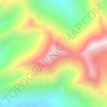
Name: Red Mountain topographic map, elevation, terrain.
Location: Red Mountain, Denali, Alaska, United States (63.32775 -150.28543 63.32785 -150.28533)
Average elevation: 1,708 m
Minimum elevation: 1,279 m
Maximum elevation: 2,191 m
Thank you for supporting this site ❤️
Make a donation
Make a donation
Other topographic maps
Click on a map to view its topography, its elevation and its terrain.