
Contai topographic map
Click on the map to display elevation.
About this map
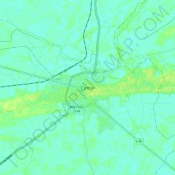
Name: Contai topographic map, elevation, terrain.
Location: Contai, Contai-I, Purba Medinipur, West Bengal, 721401, India (21.74059 87.70483 21.82059 87.78483)
Average elevation: 5 m
Minimum elevation: 0 m
Maximum elevation: 13 m