
San Carlos topographic map
Interactive map
Click on the map to display elevation.
About this map
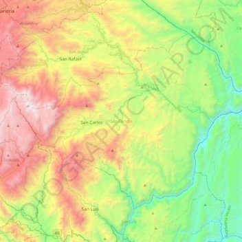
Name: San Carlos topographic map, elevation, terrain.
Location: San Carlos, Oriente, Antioquia, Colombia (6.04157 -75.12174 6.33904 -74.71217)
Average elevation: 1,059 m
Minimum elevation: 178 m
Maximum elevation: 2,441 m