
Kerteh topographic map
Interactive map
Click on the map to display elevation.
About this map
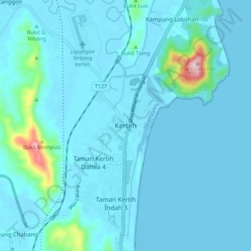
Name: Kerteh topographic map, elevation, terrain.
Location: Kerteh, Terengganu, 24300, Malaysia (4.46831 103.40180 4.54831 103.48180)
Average elevation: 27 m
Minimum elevation: -4 m
Maximum elevation: 343 m