
Mühlhausen topographic map
Interactive map
Click on the map to display elevation.
About this map
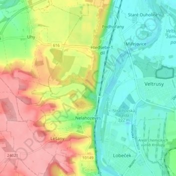
Name: Mühlhausen topographic map, elevation, terrain.
Location: Mühlhausen, Bezirk Melnik, Mittelböhmen, 27751, Tschechien (50.24531 14.26312 50.29448 14.32197)
Average elevation: 209 m
Minimum elevation: 163 m
Maximum elevation: 278 m