
Thank you for supporting this site ❤️
Make a donation
Make a donation
Cottonwood Point topographic map
Click on the map to display elevation.
Thank you for supporting this site ❤️
Make a donation
Make a donation
About this map
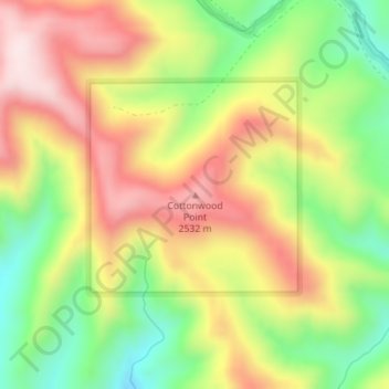
Name: Cottonwood Point topographic map, elevation, terrain.
Location: Cottonwood Point, Grand County, Utah, United States (39.15075 -109.60184 39.15085 -109.60174)
Average elevation: 2,346 m
Minimum elevation: 2,118 m
Maximum elevation: 2,576 m
Thank you for supporting this site ❤️
Make a donation
Make a donation
Other topographic maps
Click on a map to view its topography, its elevation and its terrain.