
Thank you for supporting this site ❤️
Make a donation
Make a donation
Tate Township topographic map
Click on the map to display elevation.
Thank you for supporting this site ❤️
Make a donation
Make a donation
About this map
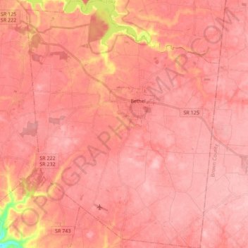
Name: Tate Township topographic map, elevation, terrain.
Location: Tate Township, Clermont County, Ohio, United States (38.88502 -84.15761 39.01744 -84.02507)
Average elevation: 270 m
Minimum elevation: 169 m
Maximum elevation: 294 m
Thank you for supporting this site ❤️
Make a donation
Make a donation
Other topographic maps
Click on a map to view its topography, its elevation and its terrain.
Locust Corner Park
United States > Ohio > Clermont County > Cincinnati > Locust Corner
Average elevation: 253 m
Thank you for supporting this site ❤️
Make a donation
Make a donation
Thank you for supporting this site ❤️
Make a donation
Make a donation