
Thành phố Vũng Tàu topographic map
Interactive map
Click on the map to display elevation.
About this map
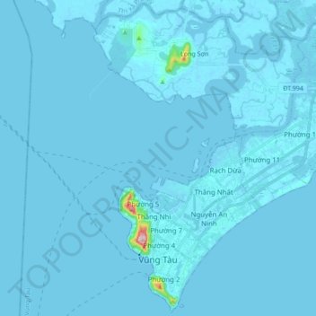
Name: Thành phố Vũng Tàu topographic map, elevation, terrain.
Location: Thành phố Vũng Tàu, Tỉnh Bà Rịa-Vũng Tàu, Vietnam (10.32030 107.04181 10.48418 107.21176)
Average elevation: 3 m
Minimum elevation: -9 m
Maximum elevation: 245 m