
Make a donation
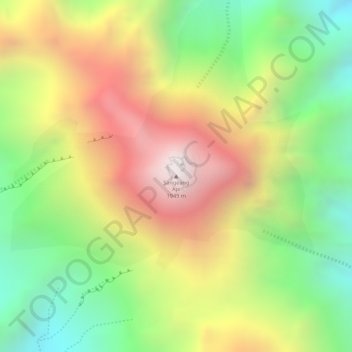
Sangeang Api topographic map
Click on the map to display elevation.
Make a donation
Sangeang Api
Since mid-June 2013, authorities had put the volcano on 'high alert' for a possible eruption. On May 30, 2014, a major eruption occurred at around 3:55 p.m. local time. Farmers working on the island were evacuated. Ash and smoke quickly rose to an altitude of 15–20 km (≈10–16 miles) into the sky. By the next morning, the ash cloud had crossed the northwest coast of Australia in the Kimberley region, and airlines had cancelled flights into and from Darwin, Northern Territory. It later went as far as Alice Springs in the Northern Territory. On 31 May some flights from Melbourne and Adelaide to Bali were also cancelled.
Make a donation
About this map
Name: Sangeang Api topographic map, elevation, terrain.
Average elevation: 1,382 m
Minimum elevation: 864 m
Maximum elevation: 1,922 m
Make a donation