
Rosières topographic map
Interactive map
Click on the map to display elevation.
About this map
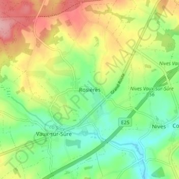
Name: Rosières topographic map, elevation, terrain.
Location: Rosières, Bastogne, Luxemburg, Wallonien, 6640, Belgien (49.90036 5.55874 49.94036 5.59874)
Average elevation: 471 m
Minimum elevation: 419 m
Maximum elevation: 545 m