
Thank you for supporting this site ❤️
Make a donation
Make a donation
Assenois topographic map
Click on the map to display elevation.
Thank you for supporting this site ❤️
Make a donation
Make a donation
About this map
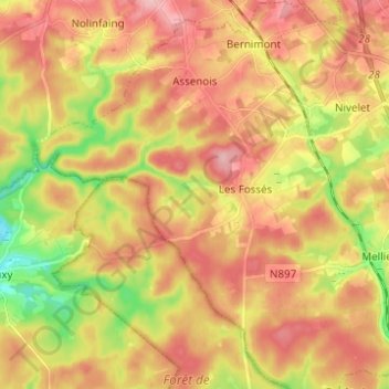
Name: Assenois topographic map, elevation, terrain.
Location: Assenois, Léglise, Neufchâteau, Luxembourg, Wallonie, Belgique (49.74011 5.41165 49.81950 5.52715)
Average elevation: 420 m
Minimum elevation: 353 m
Maximum elevation: 476 m
Thank you for supporting this site ❤️
Make a donation
Make a donation