
Thank you for supporting this site ❤️
Make a donation
Make a donation
Gahunje topographic map
Click on the map to display elevation.
Thank you for supporting this site ❤️
Make a donation
Make a donation
About this map
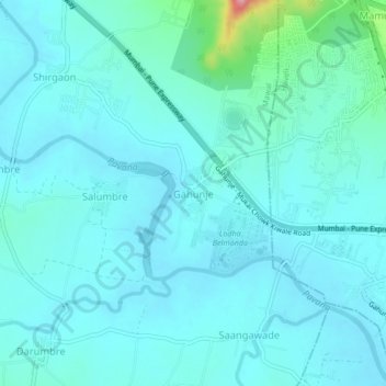
Name: Gahunje topographic map, elevation, terrain.
Location: Gahunje, Mawal, Pune District, 654321, India (18.64682 73.68208 18.68682 73.72208)
Average elevation: 584 m
Minimum elevation: 564 m
Maximum elevation: 725 m
Thank you for supporting this site ❤️
Make a donation
Make a donation