
De Halm topographic map
Interactive map
Click on the map to display elevation.
About this map
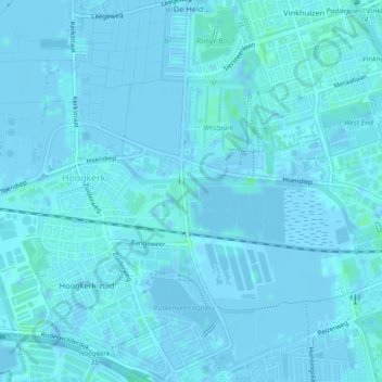
Name: De Halm topographic map, elevation, terrain.
Location: De Halm, Hoogkerk, West, Groningen, Nederland (53.21344 6.51158 53.21470 6.51469)
Average elevation: 1 m
Minimum elevation: -5 m
Maximum elevation: 6 m