
Schneisingen topographic map
Interactive map
Click on the map to display elevation.
About this map
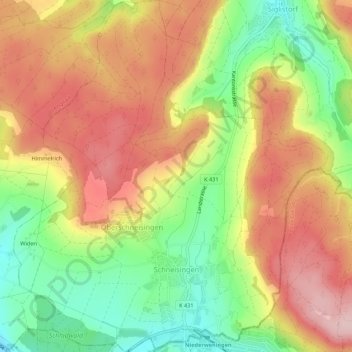
Name: Schneisingen topographic map, elevation, terrain.
Location: Schneisingen, Bezirk Zurzach, Argovie, 5425, Suisse (47.50981 8.33956 47.54626 8.38781)
Average elevation: 538 m
Minimum elevation: 424 m
Maximum elevation: 640 m