
Oytal topographic map
Interactive map
Click on the map to display elevation.
About this map
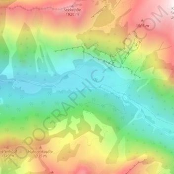
Name: Oytal topographic map, elevation, terrain.
Average elevation: 1,414 m
Minimum elevation: 961 m
Maximum elevation: 2,029 m
Other topographic maps
Click on a map to view its topography, its elevation and its terrain.
Mindelheimer Hütte
Allemagne > Bavière > Landkreis Oberallgäu > Oberstdorf
Mindelheimer Hütte, Mindelheimer Klettersteig, Oberstdorf, Landkreis Oberallgäu, Bavière, 87561, Allemagne
Average elevation: 1,872 m