
Gemeinde Serfaus topographic map
Interactive map
Click on the map to display elevation.
About this map
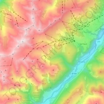
Name: Gemeinde Serfaus topographic map, elevation, terrain.
Location: Gemeinde Serfaus, Bezirk Landeck, Tyrol, 6534, Autriche (46.99165 10.46772 47.06533 10.63655)
Average elevation: 1,934 m
Minimum elevation: 879 m
Maximum elevation: 2,985 m