
Thank you for supporting this site ❤️
Make a donation
Make a donation
Ondangwa topographic map
Click on the map to display elevation.
Thank you for supporting this site ❤️
Make a donation
Make a donation
About this map
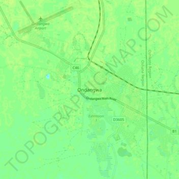
Name: Ondangwa topographic map, elevation, terrain.
Location: Ondangwa, Oshana, 15002, Namibia (-17.94974 15.93346 -17.86974 16.01346)
Average elevation: 1,097 m
Minimum elevation: 1,090 m
Maximum elevation: 1,100 m
Thank you for supporting this site ❤️
Make a donation
Make a donation
Other topographic maps
Click on a map to view its topography, its elevation and its terrain.