
городской округ Азов topographic map
Interactive map
Click on the map to display elevation.
About this map
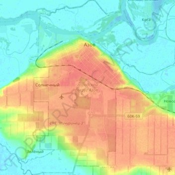
Name: городской округ Азов topographic map, elevation, terrain.
Average elevation: 21 m
Minimum elevation: -1 m
Maximum elevation: 51 m
Other topographic maps
Click on a map to view its topography, its elevation and its terrain.
Azov
Russie > Ростовская область > городской округ Азов > Azov
Azov, городской округ Азов, Ростовская область, District fédéral du Sud, 346787, Russie
Average elevation: 16 m