
Thank you for supporting this site ❤️
Make a donation
Make a donation
Raqas topographic map
Click on the map to display elevation.
Thank you for supporting this site ❤️
Make a donation
Make a donation
About this map
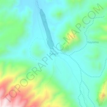
Name: Raqas topographic map, elevation, terrain.
Location: Raqas, Erigavo District, Sanaag, Somaliland, Somalia (10.74848 46.96813 10.78848 47.00813)
Average elevation: 382 m
Minimum elevation: 220 m
Maximum elevation: 863 m
Thank you for supporting this site ❤️
Make a donation
Make a donation
Other topographic maps
Click on a map to view its topography, its elevation and its terrain.