
Sombrerete topographic map
Interactive map
Click on the map to display elevation.
About this map
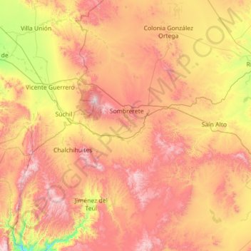
Name: Sombrerete topographic map, elevation, terrain.
Location: Sombrerete, Zacatecas, México (23.06090 -103.87908 24.08897 -103.29503)
Average elevation: 2,233 m
Minimum elevation: 1,542 m
Maximum elevation: 3,066 m