
Thank you for supporting this site ❤️
Make a donation
Make a donation
Binagbag topographic map
Click on the map to display elevation.
Thank you for supporting this site ❤️
Make a donation
Make a donation
About this map
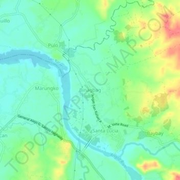
Name: Binagbag topographic map, elevation, terrain.
Location: Binagbag, Angat, Bulacan, Central Luzon, 3012, Philippines (14.93198 121.00306 14.97198 121.04306)
Average elevation: 39 m
Minimum elevation: 18 m
Maximum elevation: 82 m
Thank you for supporting this site ❤️
Make a donation
Make a donation
Other topographic maps
Click on a map to view its topography, its elevation and its terrain.