
Thank you for supporting this site ❤️
Make a donation
Make a donation
Ashtarak topographic map
Click on the map to display elevation.
Thank you for supporting this site ❤️
Make a donation
Make a donation
About this map
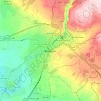
Name: Ashtarak topographic map, elevation, terrain.
Location: Ashtarak, Ashtarak region, Aragatsotn Province, 0204, Armenia (40.24868 44.32131 40.32868 44.40131)
Average elevation: 1,165 m
Minimum elevation: 993 m
Maximum elevation: 1,379 m
Thank you for supporting this site ❤️
Make a donation
Make a donation