
Thank you for supporting this site ❤️
Make a donation
Make a donation
Puentelon topographic map
Click on the map to display elevation.
Thank you for supporting this site ❤️
Make a donation
Make a donation
About this map
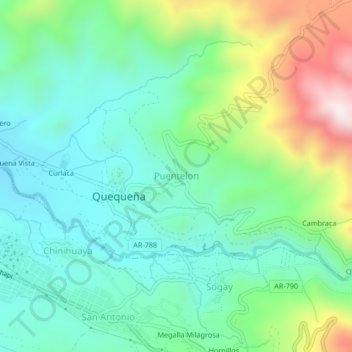
Name: Puentelon topographic map, elevation, terrain.
Location: Puentelon, Quequeña, Provincia de Arequipa, Arequipa, Perú (-16.57577 -71.46426 -16.53577 -71.42426)
Average elevation: 2,706 m
Minimum elevation: 2,485 m
Maximum elevation: 3,252 m
Thank you for supporting this site ❤️
Make a donation
Make a donation