
Opole County topographic map
Interactive map
Click on the map to display elevation.
About this map
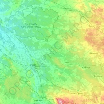
Name: Opole County topographic map, elevation, terrain.
Location: Opole County, Opole Voivodeship, Poland (50.50160 17.46624 50.96807 18.35442)
Average elevation: 192 m
Minimum elevation: 136 m
Maximum elevation: 398 m