
Thank you for supporting this site ❤️
Make a donation
Make a donation
Kampung Pulai topographic map
Click on the map to display elevation.
Thank you for supporting this site ❤️
Make a donation
Make a donation
About this map
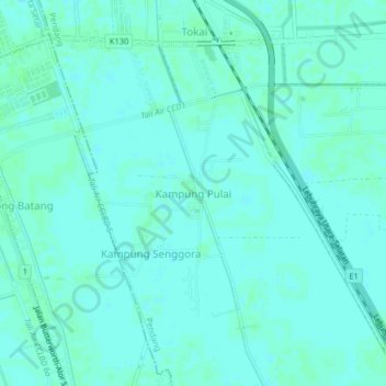
Name: Kampung Pulai topographic map, elevation, terrain.
Location: Kampung Pulai, Pendang, Kedah, Malaysia (5.99175 100.38679 6.03175 100.42679)
Average elevation: 4 m
Minimum elevation: 1 m
Maximum elevation: 7 m
Thank you for supporting this site ❤️
Make a donation
Make a donation