
Thank you for supporting this site ❤️
Make a donation
Make a donation
Swanville topographic map
Click on the map to display elevation.
Thank you for supporting this site ❤️
Make a donation
Make a donation
About this map
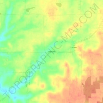
Name: Swanville topographic map, elevation, terrain.
Location: Swanville, Jefferson County, Indiana, United States (38.66645 -85.57857 38.70645 -85.53857)
Average elevation: 227 m
Minimum elevation: 197 m
Maximum elevation: 249 m
Thank you for supporting this site ❤️
Make a donation
Make a donation
Other topographic maps
Click on a map to view its topography, its elevation and its terrain.