
Thank you for supporting this site ❤️
Make a donation
Make a donation
Centreville topographic map
Click on the map to display elevation.
Thank you for supporting this site ❤️
Make a donation
Make a donation
About this map
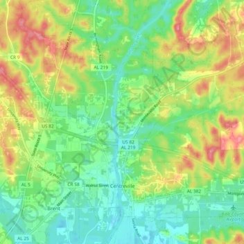
Name: Centreville topographic map, elevation, terrain.
Location: Centreville, Bibb County, Alabama, 35042, United States (32.93056 -87.16843 32.99922 -87.07576)
Average elevation: 93 m
Minimum elevation: 58 m
Maximum elevation: 147 m
Thank you for supporting this site ❤️
Make a donation
Make a donation