
Llanera topographic map
Interactive map
Click on the map to display elevation.
About this map
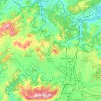
Name: Llanera topographic map, elevation, terrain.
Location: Llanera, Asturias, Spain (43.40782 -5.96855 43.50110 -5.75620)
Average elevation: 197 m
Minimum elevation: 12 m
Maximum elevation: 625 m