
Witchampton topographic map
Click on the map to display elevation.
About this map
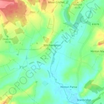
Name: Witchampton topographic map, elevation, terrain.
Location: Witchampton, Dorset, England, United Kingdom (50.83703 -2.06703 50.87291 -1.99512)
Average elevation: 47 m
Minimum elevation: 24 m
Maximum elevation: 94 m
Other topographic maps
Click on a map to view its topography, its elevation and its terrain.