
Thank you for supporting this site ❤️
Make a donation
Make a donation
Hiran Khuri topographic map
Click on the map to display elevation.
Thank you for supporting this site ❤️
Make a donation
Make a donation
About this map
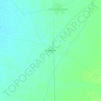
Name: Hiran Khuri topographic map, elevation, terrain.
Location: Hiran Khuri, Merta Tehsil, Nagaur, Rajasthan, India (26.54183 73.96451 26.58183 74.00451)
Average elevation: 309 m
Minimum elevation: 304 m
Maximum elevation: 314 m
Thank you for supporting this site ❤️
Make a donation
Make a donation