
Buffalo County topographic map
Click on the map to display elevation.
About this map
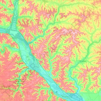
Name: Buffalo County topographic map, elevation, terrain.
Location: Buffalo County, Wisconsin, United States (44.02532 -92.08380 44.59675 -91.52854)
Average elevation: 287 m
Minimum elevation: 194 m
Maximum elevation: 418 m
Other topographic maps
Click on a map to view its topography, its elevation and its terrain.