Geolocate

Marcilla topographic map

Click on the map to display elevation.

About this map

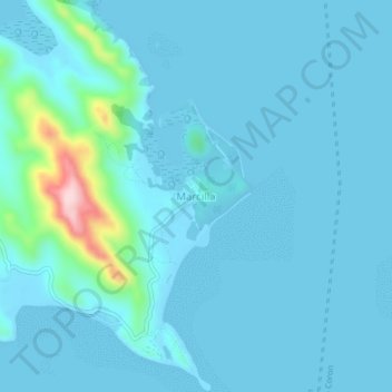
Name: Marcilla topographic map, elevation, terrain.

Location: Marcilla, Coron, Palawan, Mimaropa, Philippines (11.99213 120.31439 12.03213 120.35439)

Average elevation: 24 m

Minimum elevation: 0 m

Maximum elevation: 263 m

Other topographic maps

Click on a map to view its topography, its elevation and its terrain.

Bulalacao

Philippines > Palawan > Coron

Average elevation: 3 m

Bulalacao

Philippines > Palawan > Coron

Average elevation: 3 m

Coron Island

Philippines > Palawan > Coron

Average elevation: 37 m

Pedrasa Island

Philippines > Palawan > Coron

Average elevation: 18 m

Apo Island

Philippines > Palawan > Coron

Average elevation: 22 m

Mayanpayan Island

Philippines > Palawan > Coron

Average elevation: 7 m