
Santa Clara topographic map
Click on the map to display elevation.
About this map
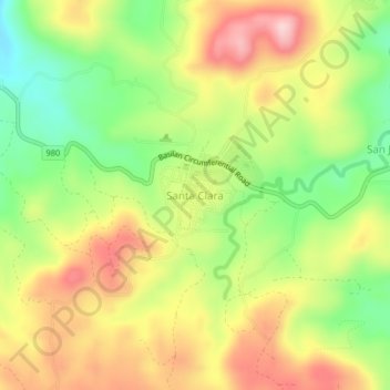
Name: Santa Clara topographic map, elevation, terrain.
Location: Santa Clara, Isabela, Basilan, Bangsamoro, 7302, Philippines (6.65781 122.04075 6.69781 122.08075)
Average elevation: 156 m
Minimum elevation: 34 m
Maximum elevation: 280 m
Other topographic maps
Click on a map to view its topography, its elevation and its terrain.