
Habsburg topographic map
Interactive map
Click on the map to display elevation.
About this map
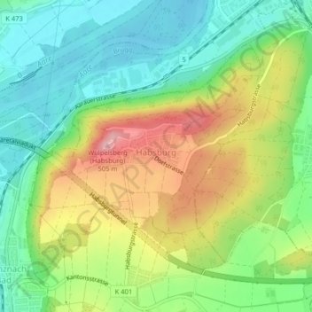
Name: Habsburg topographic map, elevation, terrain.
Location: Habsburg, Bezirk Brugg, Argovie, 5245, Suisse (47.45189 8.17082 47.47150 8.20053)
Average elevation: 397 m
Minimum elevation: 332 m
Maximum elevation: 499 m