
Thank you for supporting this site ❤️
Make a donation
Make a donation
Thy topographic map
Click on the map to display elevation.
Thank you for supporting this site ❤️
Make a donation
Make a donation
About this map
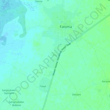
Name: Thy topographic map, elevation, terrain.
Location: Thy, Mopti Cercle, Mopti, Mali (14.58327 -4.08400 14.62327 -4.04400)
Average elevation: 271 m
Minimum elevation: 267 m
Maximum elevation: 276 m
Thank you for supporting this site ❤️
Make a donation
Make a donation