
Thank you for supporting this site ❤️
Make a donation
Make a donation
Kenaston topographic map
Click on the map to display elevation.
Thank you for supporting this site ❤️
Make a donation
Make a donation
About this map
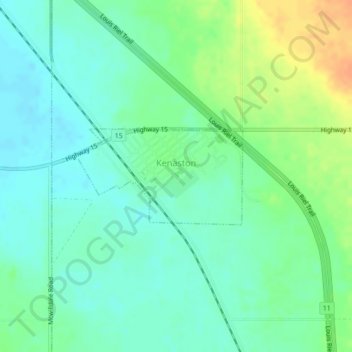
Name: Kenaston topographic map, elevation, terrain.
Location: Kenaston, Division No. 11, Saskatchewan, S0G 2N0, Canada (51.49649 -106.28220 51.50385 -106.26165)
Average elevation: 618 m
Minimum elevation: 606 m
Maximum elevation: 642 m
Thank you for supporting this site ❤️
Make a donation
Make a donation