
Thank you for supporting this site ❤️
Make a donation
Make a donation
Birkhadem topographic map
Click on the map to display elevation.
Thank you for supporting this site ❤️
Make a donation
Make a donation
About this map
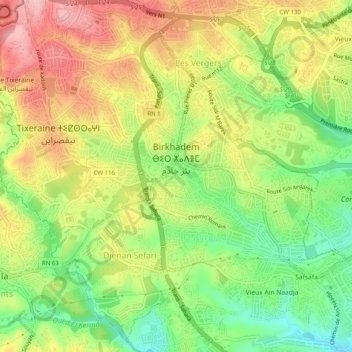
Name: Birkhadem topographic map, elevation, terrain.
Location: Birkhadem, Daïra Bir Mourad Rais, Alger, Algérie (36.69546 3.02369 36.73257 3.07365)
Average elevation: 113 m
Minimum elevation: 33 m
Maximum elevation: 195 m
Thank you for supporting this site ❤️
Make a donation
Make a donation