
Thank you for supporting this site ❤️
Make a donation
Make a donation
Sai Yok topographic map
Click on the map to display elevation.
Thank you for supporting this site ❤️
Make a donation
Make a donation
About this map
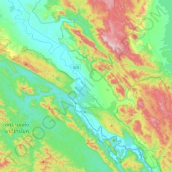
Name: Sai Yok topographic map, elevation, terrain.
Location: Sai Yok, Kanchanaburi Province, Thailand (14.29451 98.70185 14.61451 99.02185)
Average elevation: 337 m
Minimum elevation: 56 m
Maximum elevation: 1,013 m
Thank you for supporting this site ❤️
Make a donation
Make a donation
Other topographic maps
Click on a map to view its topography, its elevation and its terrain.