
San Carlos topographic map
Interactive map
Click on the map to display elevation.
About this map
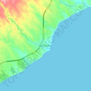
Name: San Carlos topographic map, elevation, terrain.
Location: San Carlos, Distrito San Carlos, Panamá Oeste, Panamá (8.43271 -79.99620 8.51271 -79.91620)
Average elevation: 25 m
Minimum elevation: 0 m
Maximum elevation: 130 m