
Thank you for supporting this site ❤️
Make a donation
Make a donation
Monte Cece topographic map
Click on the map to display elevation.
Thank you for supporting this site ❤️
Make a donation
Make a donation
About this map
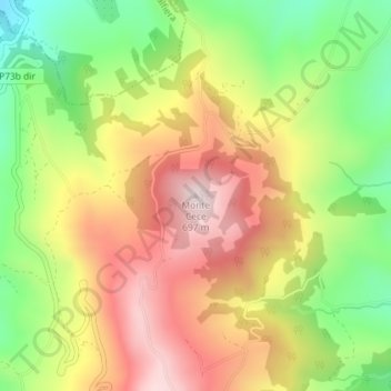
Name: Monte Cece topographic map, elevation, terrain.
Location: Monte Cece, Casacalenda, Campobasso, Molise, 86043, Italia (41.78478 14.83478 41.78488 14.83488)
Average elevation: 443 m
Minimum elevation: 193 m
Maximum elevation: 686 m
Thank you for supporting this site ❤️
Make a donation
Make a donation