
Thank you for supporting this site ❤️
Make a donation
Make a donation
Paragon topographic map
Click on the map to display elevation.
Thank you for supporting this site ❤️
Make a donation
Make a donation
About this map
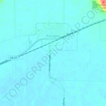
Name: Paragon topographic map, elevation, terrain.
Location: Paragon, Morgan County, Indiana, United States (39.38306 -86.57035 39.39827 -86.55455)
Average elevation: 176 m
Minimum elevation: 171 m
Maximum elevation: 226 m
Thank you for supporting this site ❤️
Make a donation
Make a donation
Other topographic maps
Click on a map to view its topography, its elevation and its terrain.