
San Isidro topographic map
Click on the map to display elevation.
About this map
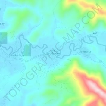
Name: San Isidro topographic map, elevation, terrain.
Location: San Isidro, Bulan, Sorsogon, Bicol Region, Philippines (12.63913 123.93596 12.67913 123.97596)
Average elevation: 79 m
Minimum elevation: 11 m
Maximum elevation: 365 m