
Golf topographic map
Interactive map
Click on the map to display elevation.
About this map
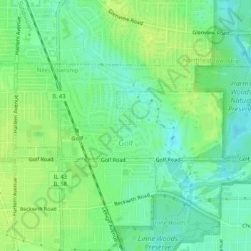
Name: Golf topographic map, elevation, terrain.
Location: Golf, Cook County, Illinois, 60029, États-Unis (42.05523 -87.79740 42.06260 -87.77591)
Average elevation: 195 m
Minimum elevation: 187 m
Maximum elevation: 201 m